In brief
Many communities are interested in preserving scenic resources along one or more highway corridor. The first step is to understand what features contribute to the scenic qualities of the corridor and how those features relate to their surroundings. This section provides guidance on conducting a visual analysis of a highway corridor in order to identify the most appropriate protection measures. Such an analysis will foster appreciation of how the landscape was formed and what is needed to enhance and preserve its unique features.
Summary
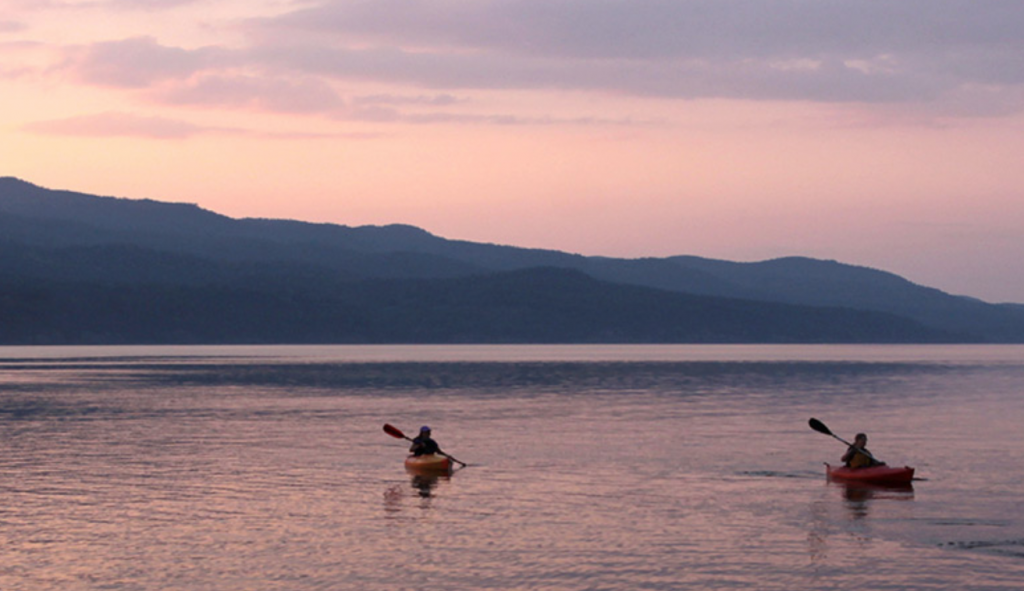
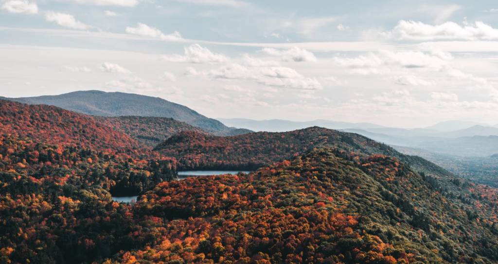
Before a community can develop strategies to preserve scenic resources or develop a corridor management program, it is important to take a step back and examine the whole corridor. By analyzing the corridor, you can identify how the road is used, what makes the landscape special, what are the key natural features, what are the development patterns, and what are the resources that your community would like to protect and why. Questions are a good starting point. Consider asking – What are the great views? Where does it make sense to add more homes or businesses?
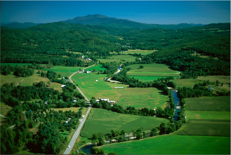
Communities can use a visual assessment as a tool to help understand the historic patterns of development and the current resources such as wetlands, prime agricultural soils, dramatic views or village boundaries. This analysis can inform your planning process and help identify priorities and other planning tools to protect a resource or direct growth. When a planning commission or other committee is reviewing a proposal, the analysis can help them understand the landscape and know how to apply appropriate tools. If your community would like more information, there is a step-by-step guide to conducting a visual analysis.
In This Section
Related Issues
Related Case Studies
| This tool contains supplemental information and detailed case studies related to The Roadscape Guide. |
| Views to the Mountains: A Scenic Protection Manual was developed based on the Roadscape Guide for Essex and Jericho. This resource includes detailed information on how to do a scenic roadway assessment and recommendations for regulatory and non-regulatory ways to protect the landscape. It is available in three parts: Part I, Part II, Part III |