

In brief
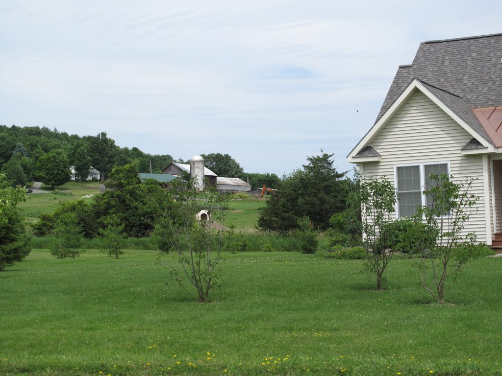
Conservation developments are an alternative to conventional, cookie-cutter subdivisions. They can offer the best of both worlds – providing homes and at the same time protecting key rural features such as woods, meadows, steep slopes, floodplains, critical habitats, scenic views, archaeological sites, historic buildings and their settings, wetlands, streams, farmland or other types of open space. This type of subdivision design can be a tool for communities trying to balance protecting rural character with allowing landowners to develop their property.
Summary
Conservation development or conservation design was a concept developed and promoted by Randall Arendt, Senior Conservation Advisor at the Natural Lands Trust. This tool allows for the same number of homes to be built in a less land-consumptive manner, allowing the balance to be permanently protected and added to an interconnected network of open space if a community implements well.
Unlike cluster development, conservation design lays out a process for developing a site and conserves at least fifty percent of the land, without a loss in the amount of units a land owner can develop. This process includes:
- Determine a site’s yield: calculate the maximum development potential under current zoning regulations. Some communities provide density incentives if a developer protects more than 50% of the property for open space. These bonuses can provide more housing units than is allowed for that zone.
- Identify key natural and cultural resources to be protected: determine which lands are to be permanently preserved. Constrained lands, often called “Primary Conservation Areas,” should be preserved first. These often include wetlands, steep slopes or floodplains. Then other important features, “Secondary Conservation Areas,” should be considered. These might include areas identified by your community or in your town plan as key areas for conservation and can include natural, cultural or historic resources such as mature woodlands, prime farmland, historic sites, scenic views, stream corridors and wildlife habitat and corridors. These areas should be outlined to ensure that they meet the minimum open space goals.
- Locate home sites: arrange homes outside of the conservation areas. Developers are encouraged to pay attention to site location to ensure privacy and maximize open space views for future homeowners.
- Connect the dots: lay out the streets and trails to connect the houses and avoid the area for open space protection.
- Lay out lot lines: finally, lot lines around each house are drawn, excluding the protected open space.
Like any tool, conservation developments have their strengths and limitations that communities should be aware of when considering implementing this tool. They can establish a network of farmland, forests and open space as well as recreational trails, if a community has a comprehensive open space plan that outlines key lands to be preserved. The land is able to be conserved without decreasing the number of units that can be developed, requiring public funds or relying on landowner charity. This tool also does not require complicated regulations or require two or more property owners working together to be implemented.
On the flip side, communities should not consider conservation developments as a cure all for protecting the working landscape. If not implemented with a comprehensive open space plan, these subdivisions can chop up the landscape and miss an opportunity to develop a broader system of farms, forests and key habitats. And often these are marketed as higher end housing so communities should consider encouraging duplexes or smaller, cottage-style designs to provide a greater range of housing options. Finally, if your community wants to promote development that is less dependent on the automobile, these projects may not support this goal unless tied to centers via transit networks or bike trails.
Good for developers
A comparison of conservation developments versus conventional developments in Rhode Island illustrated that conservation subdivisions are beneficial to landowners and developers as well as the community. The study showed that conservation development lots sold for 12-16% more; cost about $7,400 less to produce and sold in have the time when compared to conventional subdivisions. (Raymon Mohamed. The Economics of Conservation Subdivisions: Price Premiums, Improvement Costs and Absorption Rates Urban Affairs Review, Vol. 41, No. 3, January 2006, 376-399.)
Related Issues
- Forest Fragmentation
- Productive Farms
- Scenic Road Corridors
- Working Lands
- Wildlife Habitat and Natural Areas
Related Case Studies
Resources
An Innovative Tool for Managing Rural Residential Development: A Look at Conservation Subdivisions. Center for Land Use Education. Land Use Tracker. Volume 2, Issue 1. Summer 2002.
Better Designs for Development in Michigan. Minnesota Land Trust and University of Minnesota. 2001.
The Economics of Conservation Subdivisions: Price Premiums, Improvement Costs and Absorption Rates. Raymon Mohamed, Urban Affairs Review, Vol. 41, No. 3, January 2006, 376-399.
Growing Greener. Putting Conservation into Local Codes. Natural Lands Trust, Inc. Nov 1997.