Community overview
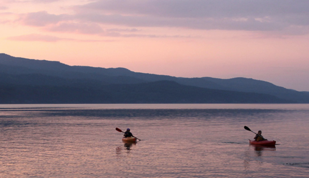
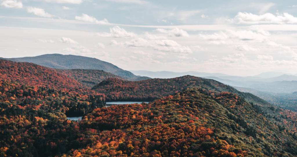
Covering an area of just over 32,000 acres with a population in 2019 of 996, the Town of Shrewsbury in Rutland County sits on the south side of the Coolidge Mountain Range, with Killington on the other side. Residents value their historical rural character and the natural beauty of their mountain setting and realize their economic and quality of life benefits. They also realize the increasing development pressure from Rutland and nearby ski areas.
Tools you can use
Shrewsbury Special Features Overlay Zone
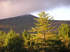
In 2008, Shrewsbury updated their Town Plan. At the same time, they participated in public meetings held by the state on wildlife management plans for the Plymsbury Wildlife Management Area and the Green Mountain State Forest. While residents realized that their town had areas of bear reproduction and seasonal habitat, these public meetings highlighted the importance of wildlife corridors for the movement of wildlife population for food, shelter and mating. These corridors ensure groups do not become isolated and genetic diversity is maintained for healthy populations.
Following the Town Plan update, the Planning Commission worked on their zoning documents to ensure compliance with the goals and vision of the plan with wildlife corridors as a new area to address. Shrewsbury provides critical corridor links for wildlife as they move between southern and northern territories.
With help from Jens Hilke, Conservation Planning Biologist from the Agency of Natural Resources, as well as the Rutland Regional Planning Commission, the Planning Commission developed maps of wildlife territory and movement. Some of this information was based on data on bear, moose and bobcat, with road kill data helping to determine patterns.

Through mapping and community input, the Planning Commission expanded the areas that were protected by a bear overlay zone to include wildlife habitat and corridors. They wanted to minimize linear development along road corridors and require clustering – similar to what the state requires for deer habitat. Their new Wildlife Corridor Overlay Zone defines corridors and provides maps that delineate important north-south corridors. Within these areas development projects are required to be designed and implemented to be compatible with, and minimize impact to, these corridors. Within these areas, development projects are required to cluster units and/or buildings rather than developing in a linear manner.
Lessons Learned
- Work with the Agency of Natural Resources. They have a lot of data that will allow you to start to look at wildlife movement regionally and then go through a series of mapping iterations that incorporated town specific goals and information. ANR staff can provide the best data to narrow down the particular areas that need the most attention and protection.
- Involve your citizenry in presentations, data collection and public meetings. Shrewsbury’s citizens wanted to make sure that natural heritage areas are dealt with in a comprehensive manner. Informed, knowledgeable and active residents can help support corridor protection.
- Use this Community Planning Toolbox as part of or your deliberations. The Planning Commission used the Toolbox to gather ideas, find examples, understand different perspectives and ensure that the language was not capricious or arbitrary.
- Lay down the facts. Focusing on the why, where and how they planned on protecting wildlife corridors allowed discussions to focus on information and not emotion.
Related Issues
Related Tools