In Brief
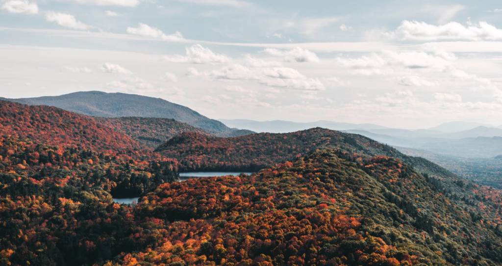
Over 100 years ago, approximately 75 percent of Vermont’s landscape was clear cut for pasture, timber, potash and fuel. Since that time, the land has healed and the forest has returned – approximately 80% of Vermont is now forested. While Vermont’s forests no longer face the prospect of clearing for agriculture as they did 100 years ago, today Vermont’s forests face a new threat: forest fragmentation, which is the result of scattered, poorly planned rural subdivision and development.
The issue
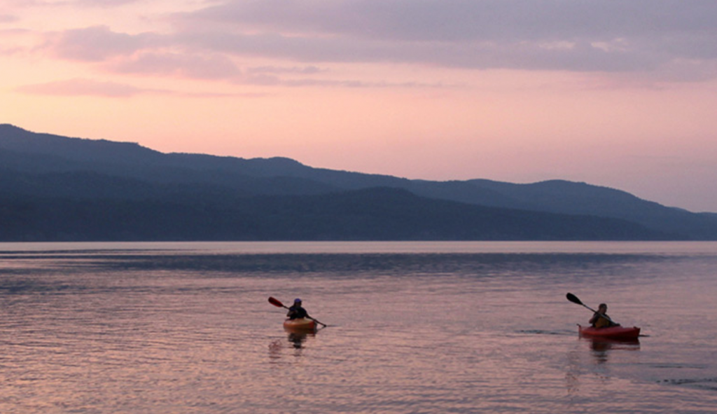
Vermont’s forest covered hills and mountains are a key component of the state’s identity. Vermonters value forests for a multitude of reasons: they provide wildlife habitat, clean water, recreational opportunities, and thousands of jobs in the forest products sector. From sugar making to leaf peeping, hiking, hunting, watching wildlife, or managing a woodlot, the opportunities to use and enjoy Vermont’s forests are endless.
In order to continue to enjoy the benefits offered by the forest, it is crucial that large forest blocks remain intact. When forestland is broken up into smaller parcels it is referred to as “parcelization” and the result is typically an increase in the number of people who own the original piece of land. This land ownership pattern can result in new housing and infrastructure development (roads, septic, utility lines, etc.). When this development occurs, it “fragments” the landscape and, depending on the location and scale, can negatively affect plant and animal species, wildlife habitat (called habitat fragmentation), and water quality. It can also affect the contiguous ownership and management of forest parcels, and thus the availability of tracts of forestland that are large enough to contribute to Vermont’s rural economy.
Though it can be hard to notice on a day-to-day basis, the parcelization in Vermont is increasing. For example, the number of parcels in the state increased from approximately 315,000 in 2004 to 322,000 in 2016, with the increase occurring predominately in smaller parcel sizes.[1] Much of this parcelization is associated with residential development, which happens incrementally, only a few lots at a time.[2] Additional drivers of parcelization include rising property taxes, the increasing average age of private forest landowners and the lack of estate planning, suburbanization, and inadequate land use planning.
[1] Tracking Parcelization Over Time: Updating the Vermont Database to Inform Planning and Policy. September 2018. Full report available at: https://vtforesttrends.vnrc.org/reports.
[2] VNRC studied subdivision trends in 22 communities and found that the average subdivision resulted in between 2.1 and 3.9 lots (including the original parcel). For more information, please see “Phase II: Informing Land Use Planning and Forestland Conservation Through Subdivision and Parcelization Trend Information” (VNRC, 2014).
Many communities are seeking ways to ensure their forests remain intact and continue to provide a variety of benefits, such as ecosystem services (i.e. water retention during high precipitation events), habitat for wildlife, recreational opportunities, and jobs in the forest products and tourism sectors. Municipal land use plans, zoning bylaws, and subdivision regulations can play a key role in ensuring that our forests remain intact. There are also many non-regulatory tools that communities can utilize to protect their forestlands.
In addition, smart growth principles encourage a settlement pattern defined by the contrast between compact, mixed-use villages and centers and the surrounding rural landscape. Our forests are a key part of our rural landscape. By encouraging smart growth, Vermont can ensure a healthy future for our forests.
Strategies for maintaining large, intact forest blocks include:
- Guide development to maintain a settlement pattern defined by the contrast between compact, mixed-use village centers and the surrounding rural landscape;
- Establish or expand a conservation, forest or natural resource overlay zoning District;
- Adopt a road or trail policy or ordinance to ensure that the forested lands in your town are not unduly fragmented;
- Reach out to landowners who have not yet conserved their forested lands, or enrolled their forested parcel in the Current Use program;
- And, many more!
For more information, see the Related Tools and Case Studies (below).
Vermont needs large, intact forest blocks
Maintaining large forest blocks helps to protect water quality, mitigate climate change through carbon sequestration, and promote healthy and resilient wildlife populations. Large connected forest blocks allow wildlife to meet their daily needs, and they keep populations strong by enabling genetic flow or diversity. Consider these facts:
- The average “home” range for a black bear is 19,200 acres!
- In general, large blocks of forest support a wider diversity of wildlife species than small fragmented blocks.
- Vermont is situated in the middle of important habitat linkages that allow wide ranging animals to travel between Vermont and northern New Hampshire, Maine and Quebec’s Gaspe Peninsula, and the Adirondacks in northern New York.
Related Tools
Forest District
Natural Resources Overlay District
Conservation Zoning District
Subdivision Regulations
Conservation Easement
Road and Trail Policies
Conservation Developments
Related Case Studies
Forest Reserve District – Bennington
Wildlife Corridor Overlay Zone – Shrewsbury
Meadowland Overlay District – Warren
Scenic Overlay Districts – Charlotte
Subdivision Regulations – Norwich
Subdivision Regulations – Fletcher
Conservation Easement – Alan Calfee
Conservation Easement – Putnam Blodgett
Road Length Policies – Enosburgh, VT
Trail Handbook – Underhill, VT
Conservation Development – Charlotte