Community overview
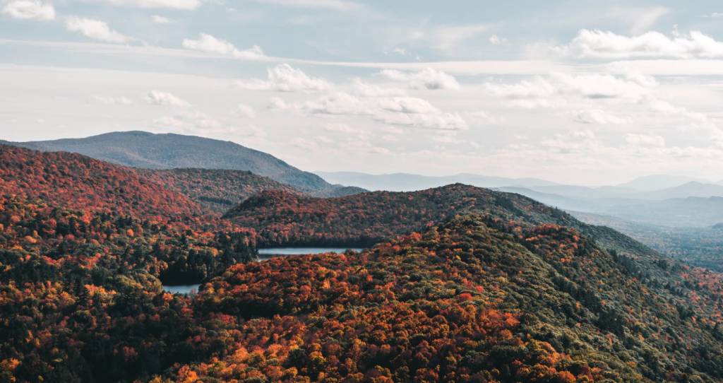
Underhill is located at the foot of Mount Mansfield and is comprised of 32,828 acres, over 7,612 acres of which are considered productive forestland. In 2010, Underhill was home to 3,016 residents. The most recent Town Plan provides a glimpse of what residents would like to see in their future: “The quality of life Underhill residents enjoy and have stated they want to protect is closely tied to the quality of the Town’s rural character and natural resources. A Community Planning Survey, conducted by the Center for Rural Studies, indicated that 86.8% of survey respondents feel it is important to ‘protect wetlands, wildlife habitat, endangered species, forest land, water quality, and other natural resources’ in Underhill (Moser, 2009).”
Tools you can use
The Town of Underhill has adopted the Underhill Trails Handbook, prepared by the town’s trail committee, to guide trail development on both public and private land. The guide is not regulatory. Instead, it provides a compilation of best management practices for trail development and maintenance. The handbook emphasizes “sustainable trail design” that minimizes the impacts of trail siting and use on the natural environment – “from the soils and tree roots underfoot to the fragile vegetation and special habitats that exist along the trail route to the wildlife that lives there.”
Some of the guide’s recommendations include:
- Consulting with the state wildlife biologist and the town’s conservation commission regarding trail routing, construction, and use, to minimize impacts on plants and wildlife.
- Establishing buffers of sufficient width between trails and key wildlife habitat areas, including wetland and riparian areas, to protect wildlife and aquatic habitat and to allow for wildlife movement.
- Including sharp turns and sight distances of 75 to 100 feet in areas that are prone to wildlife interaction, to provide trail users and animals some reaction time in case of an encounter.
- Erecting small signs that ask trail users to stay on the designated trail in the vicinity of protected natural areas.
The guide also provides more specific information on trail design, permitting and development, working with landowners and landowner liability.
Lessons learned:
- By researching best practices in nearby communities, a town can craft a comprehensive guide that is based on what works.
- Creating road and trail policies can lead to the airing of grievances and ultimately, conflict resolution. In this instance, producing the handbook brought together trail users and landowners, who were sometimes at odds, to discuss recreation interests, property rights, and to determine how to create and maintain trails in a respectful manner. Though protecting wildlife habitat and avoiding forest fragmentation were not the primary motivators for the development of this guide, it helped serve that purpose while also meeting another community need: balance between recreational users.
Related Tools
Road and Trail Policies
Access Management
Conservation and Open Space Plans
Conservation District
Forest Reserve District
Related Case Studies
Road Length Policies – Enosburgh, VT
Resources
“Road and Trail Policies,” Community Strategies for Vermont’s Forests and Wildlife: A Guide for Local Action. Chapter 17, p. 63.
“Topic Paper 25: Roads & Highways,” Land Use Planning and Implementation Manual.
Please Note: Language used in this summary was adapted from Community Strategies for Vermont’s Forests and Wildlife: A Guide for Local Action, Chapter 17.


