Community overview
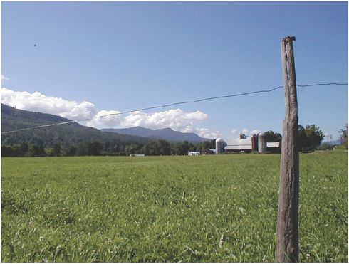
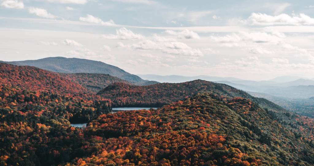
Waitsfield is located in the heart of the Mad River Valley. Its nearly 1,700 residents are proud of their town’s scenic beauty and cultural heritage, defined by the historic settlement pattern of densely settled villages surrounded by an open countryside and forested mountains. The valley floor and the higher forests supported the town’s early forestry and agricultural economy. These resources now attract significant tourist traffic and add to quality of life for residents. The town shares the Valley with the neighboring towns of Fayston and Warren as well as parts of two other towns. In recognition of their shared interests in the Valley’s landscape, Waitsfield, Fayston and Warren have been meeting regularly for nearly 25 years to discuss issues of mutual concern and are involved in numerous joint initiatives.
Tools you can use
With open space conservation, the most important thing is to think big. Wildlife, scenic views, and other important natural resources do not respect town boundaries, and towns that want to conserve them effectively need to take a regional perspective. In addition, natural resource issues are tied to a range of other town concerns, from economic development to recreation to housing, and effective conservation planning also requires that towns integrate natural resources policies and goals with other elements of the town plan. Waitsfield’s current town plan is a model of assessing natural areas issues and threats and setting open space conservation goals with this bigger picture in mind.

Some Vermont towns have stand-alone conservation and open space plans that are integrated into the town plan by reference. Others — Waitsfield among them — have chosen to address issues related to natural areas within the town plan itself. The Natural Resources chapter of Waitsfield’s town plan has its roots in a regional growth management effort with Warren and Fayston (which, together with Waitsfield, comprise the Mad River Valley Planning District) that began in the 1970s.
In 1988, this regional planning process culminated in the creation of the Mad River Rural Resource Protection Plan, which has served as a point of departure for a number of regional planning efforts in the years since. The Rural Resources Plan took a holistic look at the full range of resources – cultural, natural and scenic – that combine to give the Valley its unique sense of place. Wildlife and natural resources were not analyzed in isolation, but rather as part of the overall landscape.
This same holistic approach characterizes the treatment of a number of resources in the Natural Resources chapter of Waitsfield’s town plan. For example, the Natural Resources includes a policy that states in part, “A plan to allow the encroachment into wetlands with limited ecological functions within the Irasville Village District should be developed and implemented.” To this end, the Town recently hired a consultant to identify wetlands specifically in Irasville (an area where the town plan calls for concentrating new growth). This strategy may help guide growth into the Irasville area by putting in place regulations that reduce risk and uncertainty for new developments while ensuring that wetland functions are protected. Though Vermont’s Significant Wetland Inventory map for Waitsfield has gaps and deficiencies town-wide, Waitsfield chose to focus its resources on filling gaps in the Irasville area because doing so would help meet economic development as well as natural resources goals.
For other natural resource issues, the Waitsfield town plan takes a multi-town rather than a multi-issue approach. For example, the Natural Resources chapter identifies deer wintering areas and potential bear habitat within the town, making it clear that information on the location and extent of wildlife habitat is tentative at best. With the understanding that a wildlife habitat inventory will be both more useful and more cost-effective if it covers the entire valley, the Conservation Commission was recently tasked with identifying critical wildlife habitat and corridors and developing strategies for their preservation in cooperation with neighboring towns. They hired a consultant to complete a combined natural resource inventory for the Towns of Waitsfield and Fayston and coordinated with the Town of Warren on a separate but similar inventory whose data can be combined with data for the other two towns. The result will be updated wildlife habitat policies for all three towns that draw on a shared data set – and that therefore work towards a common set of core goals.
The Natural Resources chapter concludes with 26 natural resource policies and 16 specific tasks. Among other things, these policies and tasks call for:
- Supporting implementation of and updates to the Mad River Valley Rural Resource Protection Plan
- Forming a committee of landowners and other residents to develop a multi-property management plan for the Forest Reserve District
- Working with a range of partners to inventory wildlife habitat and develop strategies for protection
- Maintaining a reserve fund to support local land conservation efforts, with annual allocations included in the capital budget and program
As a consequence, Waitsfield is in a good position to ensure that growth in the community takes into account not only those open space issues that are specific to the town, but also those that are linked to and driven by Valley-wide dynamics.
Lessons Learned
- Obtaining new information is expensive, so it is important to target and prioritize. For example, detailed wetland information was most important to obtain for Waitsfield’s designated growth area, so the town focused consultant dollars on gathering this information.
- Working with adjacent communities not only results in more complete and useful conservation and open space data; it can also result in significant cost savings.
Related Issues
Related Tools
- Conditional Use Review
- Overlay Districts
- Conservation District
- Transfer of Development Rights
- Conservation and Open Space Plans


