There’s a quick, easy way to lend your input to the management of the Worcester Range in Central Vermont! Take this short scoping survey by August 3 to weigh in. This is your first opportunity to offer public comment.
Background: The Agency of Natural Resources (ANR) is drafting a Long Range Management Plan (LRMP) for the Worcester Range Management Unit (WRMU), covering roughly 18,000-acres centered on the CC Putnam State Forest and Elmore State Park, which includes popular destinations such as Mount Hunger, White Rock, Perry Hill, Mount Worcester, Moss Glen Falls, and Mount Elmore.
Long Range Management Plans guide the management of state lands and often remain in effect for more than twenty years. Review FPR’s story map to learn more about the Worcester Range Management Unit.
Please take the WRMU Public Scoping Survey to help ANR better understand how you use these lands, what you value about them, and how you would like to see them managed.
Here is a link to the survey. The deadline is August 3. Thank you for sharing your valuable input!
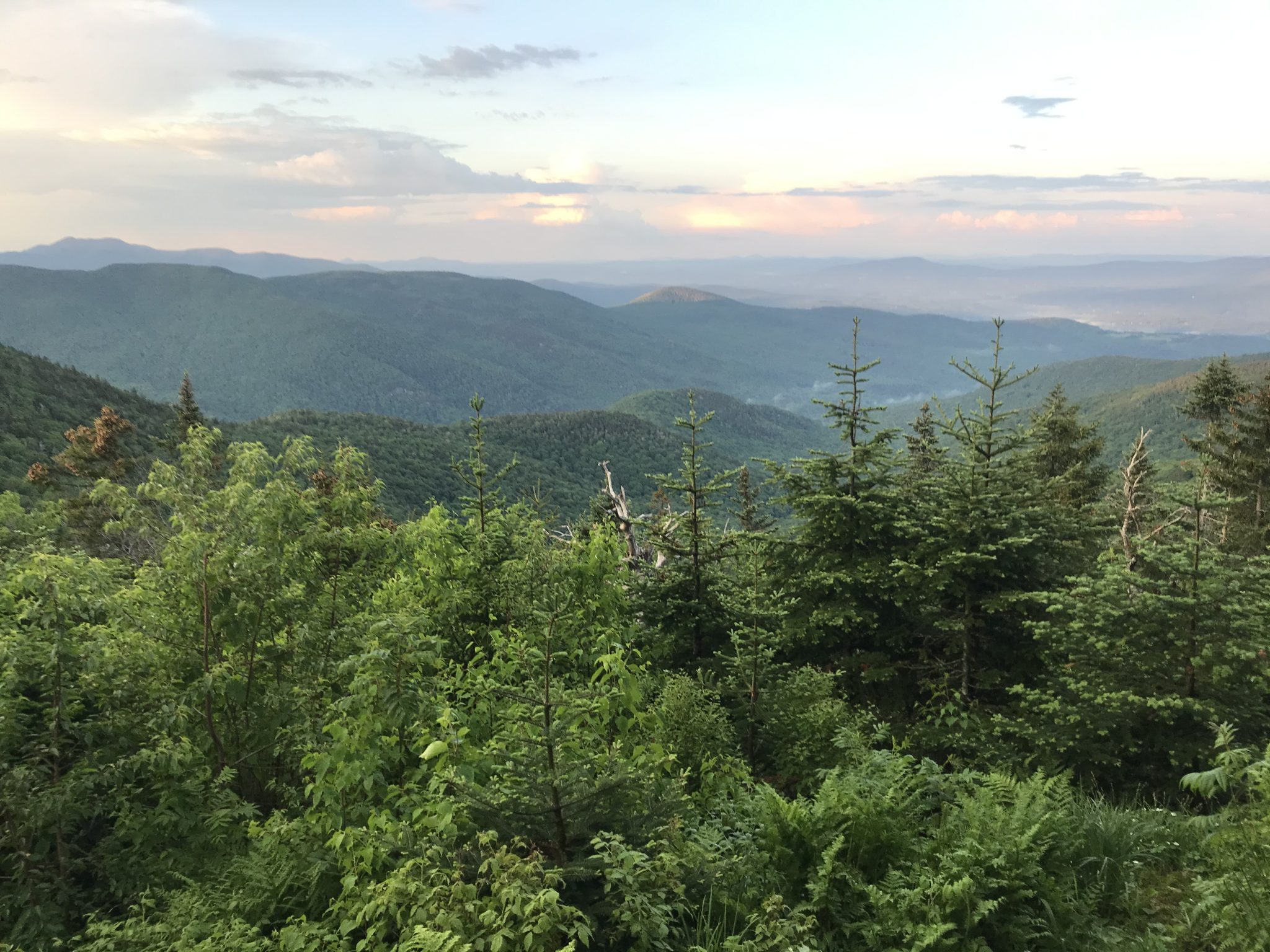
Photo of Worcester Range taken by Karina Dailey


