
The Vermont Fish and Wildlife Department announced a significant upgrade to its BioFinder planning and conservation mapping tool.
New data layers will allow users to display socio-economic variables including per capita poverty, health insurance coverage, and a social vulnerability index alongside the ecological datasets from Vermont Conservation Design that currently populate BioFinder.
BioFinder was first created in 2013. The current update is a collaboration between the Vermont Fish and Wildlife Department (VFWD), the Vermont Department of Health (VDH), and the Vermont Natural Resources Council (VNRC).
“Biologists can point out the most ecologically important places on a landscape, but actually conserving those areas involves community action,” said VFWD Conservation Planning Biologist Jens Hawkins-Hilke. “When planners understand how ecological priorities line up with community values, they can better craft conservation opportunities that benefit both people and nature.”
Meeting the needs of both human and natural communities is an important part of the State of Vermont’s strategy for responding to climate change.
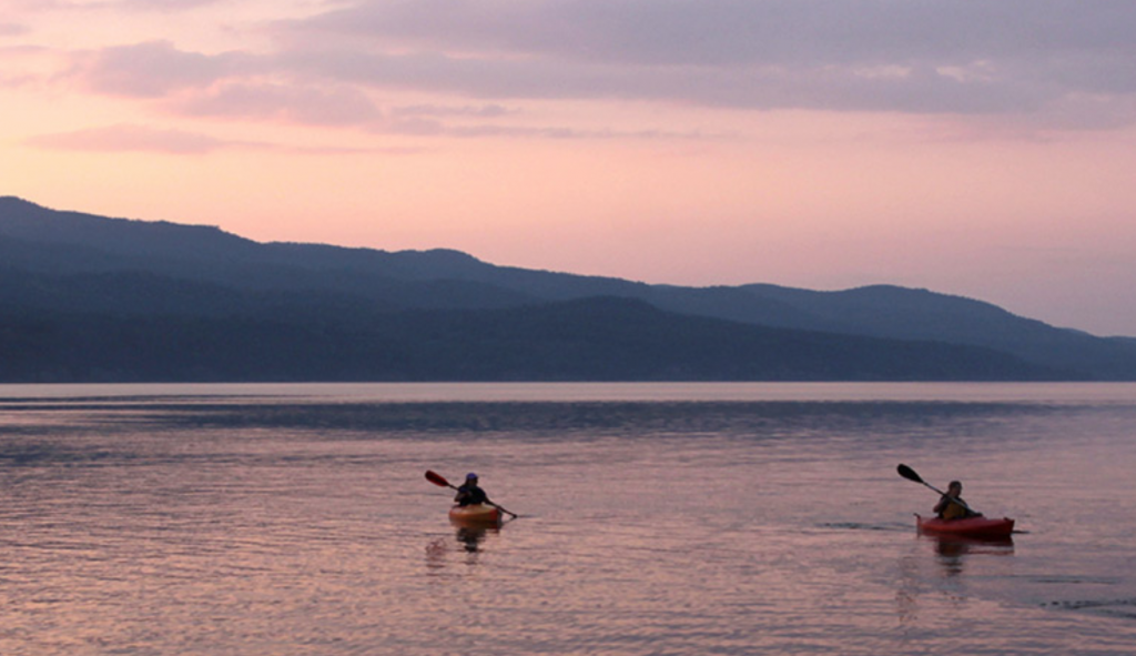
“Hurricane Irene showed us the need for this approach,” said Hilke. “During Irene, mobile home communities were disproportionately impacted by flooding. With flooding projected to increase as our climate changes, it makes sense to focus riparian conservation resources in places that also help at-risk Vermonters whenever possible.”
VNRC Forest and Wildlife Program Director Jamey Fidel said the mapping tool can also be an important resource to help address Vermont’s housing crisis while supporting the health of local ecosystems.
“The parcel data that have been added to BioFinder will allow users to analyze subdivision trends, which can inform users about land use patterns,” said Fidel. “This is essential to planning housing in appropriate locations, while better protecting important ecological priorities and natural resources.”
Indicators of community resilience can also help planners to understand why some areas are more impacted by a particular situation, such as a natural disaster or disease outbreak.
“By including these public health data in BioFinder, we can better assess systemic inequities and take steps to support Vermonters and the ecosystems they depend on,” said David Grass, Program Manager with the Vermont Health Department’s Environmental Tracking Program.
Learn more about the BioFinder Mapping Tool and new social data layers at: anr.vermont.gov/maps-and-mapping/biofinder
Learn more about Vermont Conservation Design at: https://vtfishandwildlife.com/conserve/vermont-conservation-design
Learn more about social vulnerability data and other environmental health tracking in Vermont at: healthvermont.gov/tracking
###